
Aventura Neighbors by Block
Public sources answer different block questions. Miami-Dade e-Maps defines which parcels fall next to an address or within a chosen radius. The Property Search connects each selected folio to an assessed owner, mailing destination, situs, legal description, and sale data. Association records show who governs a development, not who sleeps in each unit. Aventura neighbors therefore require a careful match between geography and the type of name shown.
| Source | What It Shows About a Block | Access |
|---|---|---|
| Miami-Dade e-Maps | Parcel shapes, nearby selections, municipality layers, and measured buffers | Free viewer with HTML or Excel export |
| Miami-Dade Property Search | Assessed owner, situs and mailing addresses, folio, legal description, and sale rows | Free by address, suite, owner, subdivision, or folio |
| Association registry | Association name, address, folios, type, status, and expiration | Free county registry; not a resident roster |
| Official Records | Recorded owners, deeds, liens, and declarations tied to nearby parcels | Free basic index; copies and certification charged |
| Florida voter records | Public residence fields subject to suppression and statutory limits | Self-lookup or requested state extract; no public block browser |
| Aventura permit and code records | Address-based construction and enforcement activity | eTRAKiT, records request, or city lien review |
The tax roll proves how the Property Appraiser carries ownership for assessment. It is not a household list. A matching mailing and situs address or a homestead indicator may support owner occupancy, but neither names all residents. Renters, relatives, and other household members can remain absent. That distinction is the core rule for a sound Aventura neighbor search.
Aventura's Vertical Neighbors
In Aventura, “next door” has several meanings. It may mean the unit beside yours, another tower on the same common tract, or a separately mapped parcel across a private drive. A GIS polygon can represent a condominium parent parcel, association land, a road, or a utility area while each home has its own folio. Eyeballing the map is not enough.
Search the base address with the suite or unit field in Miami-Dade Property Search. Then search the development or subdivision name to find units that share its legal grouping. Places such as Williams Island, Mystic Pointe, Turnberry, and Aventura Lakes can appear in association names or legal descriptions even when the postal address uses a numbered road.
Key point. A tower address may cover hundreds of folios, so unit and subdivision searches are as important as the parcel map.
Map Aventura Neighbors Precisely
The Miami-Dade e-Maps viewer searches an address, folio, intersection, landmark, municipality, township-range-section, or commission district. With the Parcels layer active, Street and Aerial basemaps help place the subject property. Select tools define the block, while a measured buffer creates a repeatable nearby set.
- Search the exact address or folio, turn on Parcels, and zoom with the street or aerial basemap.
- Use Select for one parcel or Select by Area around the visible block segment.
- For a fixed radius, select the subject feature, open Buffer, enter the distance in feet, choose the target layer, and create the buffer.
- Page through the selected features or export them to HTML or Excel. Copy each relevant folio.
- Open each folio in Property Search, check the exact unit and legal description, and record the assessed owner separately from any occupancy inference.
County GIS data are updated from time to time and carry an informational disclaimer. Confirm a result in the source parcel roll. When the task expands beyond the immediate radius, the Aventura street directory explains the full named-street record chain.
Aventura Association Records
The Miami-Dade community-association recertification registry adds a governance layer. It can be filtered by association name, registration number, address, folio, status, and type. Results show the association and address, connected folios, registration and enforcement status, type, expiration, and export choices. Those fields help match a parcel group to its public association identity.
| Aventura association example | Useful public clue | Important limit |
|---|---|---|
| Villa Dorada Condominium Association | Observed at 20250 W Country Club Drive with issued status and a January 31, 2027 expiration | Governance record, not occupant list |
| Williams Island and Porto Vita organizations | Development name can connect folios and association filings | Corporate contacts are not unit residents |
| Mystic Pointe Master and Aventura Lakes HOA | Master or HOA name helps define a community layer | Membership rosters were not verified as public |
| Point East, Hidden Bay, and Privé organizations | Official registry can distinguish nearby managed groups | An address does not prove where an officer lives |
Sunbiz may identify an association's registered agent or corporate officers. That is a business-governance clue. It does not establish who occupies any unit, and it should never be presented as a list of Aventura neighbors.
Aventura Community Connections
The Aventura Community Services page provides official ways to take part in local programs and public life.
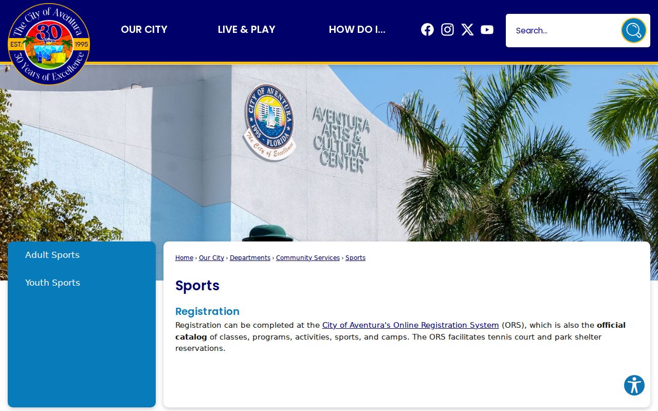
The page is a route to community participation, not a private directory of households.
The Northeast Dade-Aventura Branch Library also hosts community activity, including genealogy workshops with the Jewish Genealogical Society of Greater Miami. The society preserves and shares family-history knowledge. Such groups can help with voluntary contact and local history, but their membership should not be treated as a public block roster.
Aventura Neighbors and Voter Data
Florida's voter self-lookup asks for first name, last name, and birth date. It is meant for a voter checking their own status, not for browsing an Aventura block. The broader public file follows a separate request channel. The state provides county registration and history files on disk or for pickup, rather than through an open map.
Florida law generally opens registration records, but it protects Social Security numbers, driver-license or state-ID numbers, signatures, and specified addresses. Participation history can show whether a person took part by a voting method, never how the person voted. Address Confidentiality Program participants and some protected occupations may have key fields suppressed. A missing row cannot prove that nobody lives at an address.
Aventura Block Activity Records
Permit and code records describe activity around a block. Aventura eTRAKiT can expose permit, inspection, project, and code details keyed to an address or identifier. A permit entry may list the site, folio, subdivision, status, work description, and milestone dates. It dates work, but the applicant can be an owner, contractor, or agent.
The city also offers a consolidated lien search for one address or folio. The $50 review checks city liens, open permits, and code-compliance cases and states a three-to-four-business-day turnaround after payment. It answers a narrower property question than free GIS browsing. City public records may also be requested through JustFOIA, by phone, mail, or in person through the proper custodian.
Aventura Records at City Edges
A nearby postal address does not always fall under Aventura's city offices. The city describes its edges as the Broward line to the north, the FEC Railway to the west, the Intracoastal Waterway to the east, and NE 176th Street to the south. ZIP codes 33180 and 33160 also extend beyond a simple city identity. Check the Municipality layer and parcel jurisdiction before sending a permit or code request.
This is especially useful near the Broward line and the southern or eastern edge. A parcel that looks close on a street map may belong to a neighboring municipal service path. The Property Search remains the county source for ownership, but permit, code, police, or consolidated lien records must go to the office with jurisdiction. Preserve the folio and legal description when crossing from the county tools to a city custodian.
Development names also complicate block labels. Turnberry, Williams Island, Mystic Pointe, Waterways, and Country Club Drive can appear in subdivision or association records rather than in a postal city field. Search both the street rendering and the project name. That extra pass often connects a selected parcel to the right association and recorded declaration without assuming that everyone linked to the development lives there.
Official Aventura Neighbor Sources
Official rolls have a defined custodian and field meaning. Commercial neighbor tools blend data from changing sources and may misstate who lives at a place. Use the category only as an unverified lead, then return to the official parcel, deed, association, or voter channel.
| Source type | Strength | Limit |
|---|---|---|
| County GIS and parcel roll | Defined parcel geometry, folio, and assessed owner | Does not list every occupant |
| Association and corporate records | Public governance contacts and development identity | Agent or officer is not proof of residence |
| Commercial compiled tools | May offer a quick lead | Source dates and identity matches may be unclear |
Privacy for Aventura Neighbors
Parcel maps do not expose complete renter or household membership. Private utility, delivery, library-borrower, and motor-vehicle address data are not sources for a public neighbor list. Florida's Address Confidentiality Program protects qualifying survivors, and state law provides other address exemptions for specified people and families. These programs may remove fields rather than erase an entire public record.
Treat every name as a lead that needs context. An assessed owner may live elsewhere. A registered agent may only receive corporate notices. A voter row may be suppressed or out of date. Public access never authorizes unwanted contact, tracking, threats, account intrusion, or publication meant to harm someone.
Lawful use. Look up Aventura neighbors for civic curiosity or safe community contact. Never use public records to watch, intimidate, threaten, or harass anyone.